Technical Architect Juan Francisco

Helping those in need is not only part of the duty but also of happiness

Our services

img seccion servicios1

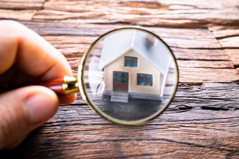
Mortgage appraisals

img seccion servicios2

Technical certificates

img seccion servicios3

Projects and construction management

img seccion servicios4

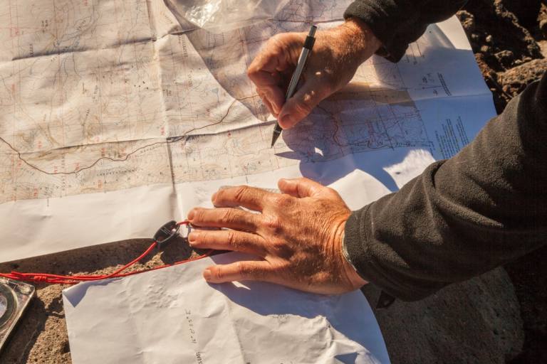
Topographic surveys

What do our services include?

High specialization in appraisals

With over 20 years of experience in mortgage appraisals, we guarantee accurate and reliable valuations for all your needs.

High commitment

We are fully dedicated to each project, ensuring timely delivery and the highest quality in all our services.

Effective communication

We maintain constant and transparent communication with our clients, ensuring they are informed at every stage of the process.

Qualified professionals and advanced technology

We have a highly qualified team and use the latest technologies to guarantee optimal results in every project.

Experience and reliability

Our extensive experience allows us to offer effective solutions tailored to the specific needs of each client.

Comprehensive services

We offer a wide range of technical services under one roof, facilitating the management and execution of your projects.

Do you want a personalized quote?

Leave your details here

    What sets us apart?

    Impeccable execution in every project

    At Technical Architect Juan Francisco, we stand out for impeccable execution, taking care of every detail to guarantee durable and quality results, personalized treatment guiding our clients through the entire process and adapting to their needs, innovation and sustainability with cutting-edge solutions that respect the environment and optimize resources, and a strong commitment to excellence, striving to exceed expectations with exceptional service.

    Learn more about us →
    img nosotros

    Latest news and tips

    topografia

    Topographic Surveys: Precision and Technology for Your Property

    “`html What is a topographic survey? It is a procedure that allows accurately representing the shape, boundaries, and dimensions of a land. Advanced technology such as high-precision GPS, total stations, and drones is used to ensure exact measurements. The final result is a topographic map that reflects the physical reality of the plot. When do…

    Leer más
    logos kit