“`html
What is a topographic survey?
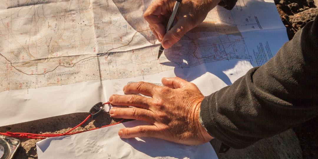
It is a procedure that allows accurately representing the shape, boundaries, and dimensions of a land. Advanced technology such as high-precision GPS, total stations, and drones is used to ensure exact measurements. The final result is a topographic map that reflects the physical reality of the plot.
When do you need a topographic survey?
- Buying or selling land: To verify the exact boundaries of the plot.
- Construction projects: As a basis for designing buildings, infrastructures, or urbanizations.
- Property regularization: In legal procedures or deeds that require accuracy in the surface of the land.
- Division or segregation: In processes to divide plots.
How is it carried out?
The technician visits the land with specialized equipment to take detailed measurements. Subsequently, the collected data is processed to generate maps that include elevations, slopes, and other relevant details.
- Benefits of an accurate topographic survey
- Avoids legal conflicts: Defines clear and documented boundaries.
- Facilitates planning: Provides key information for any construction or urbanization project.
- Ensures precision: Guarantees that the data reflects the reality of the land.
In summary, a topographic survey is essential for any owner or planner seeking precision and security in managing their land. Having a trained professional ensures reliable results tailored to your needs.
“`


